Download our Walking Tracks map (PDF) and see how you can join some of the walks up with others to make create even longer adventures. Check the track status before you leave. Find a track which suits you.

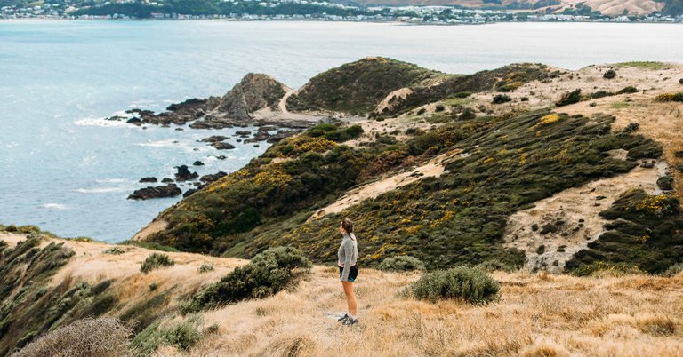
Distance: 10 km, 3-5 hours one-way
Gradient: moderate, challenging
Surface type: mixed
This track will give you bragging rights that you've walked part of the Te Araroa Trail (the track that goes the length of New Zealand). It includes some steep terrain and is not for the faint hearted but if you're fit and keen – get out there and reap the rewards!
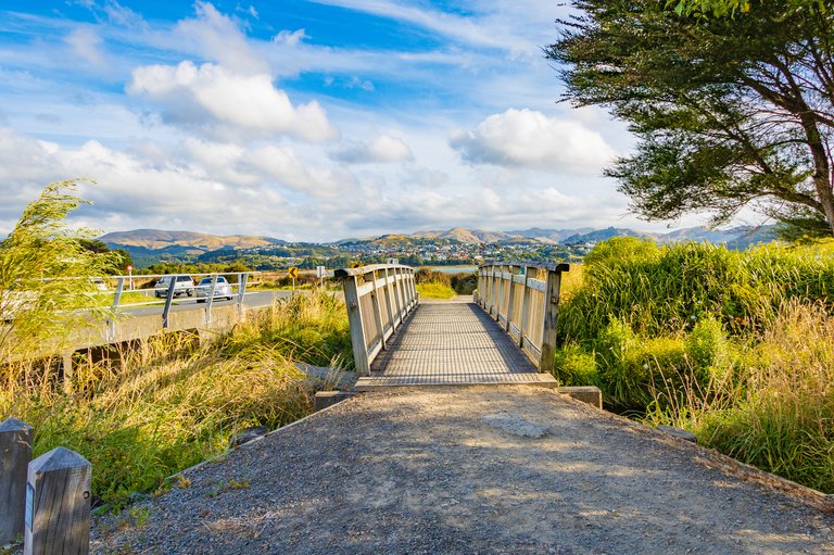
Distance: 9.1 km, 2 hrs 24 min one-way
Gradient: easy, moderate
Surface type: sealed
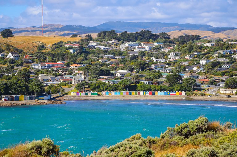
This walkway takes you through Mana, Plimmerton, and Pukerua Bay and includes four beaches, a wetland, steam train operation (currently being upgraded - will be up in running later in the year) , and historic World War II sites.
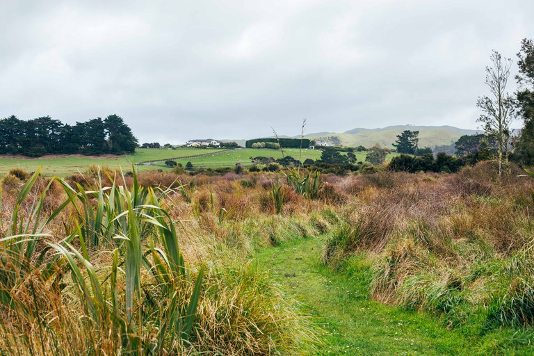
Distance: 1.5 km, 32 minutes one-way
Gradient: moderate
Surface type: unsealed
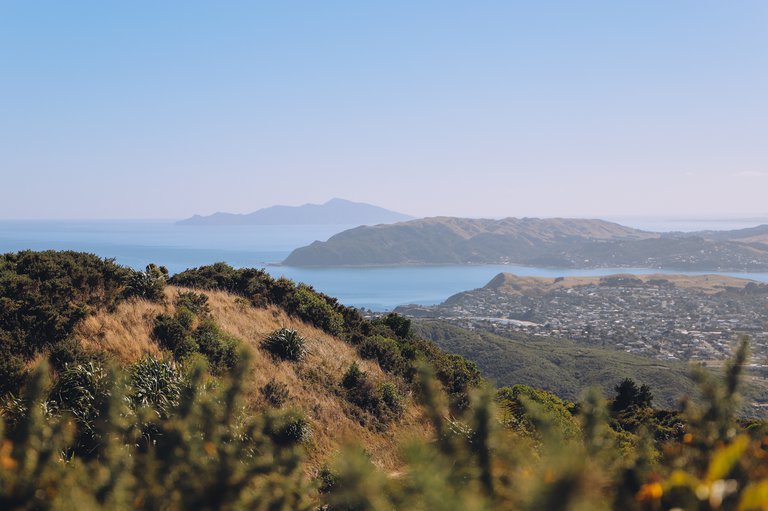
This rural track starting in Plimmerton provides extensive views of Mana Island and Porirua Harbour, and on a fine day you can see out to Marlborough Sounds. It’s a great track for walkers and horse-riders alike.
Dogs are not permitted during lambing season from September to December
Distance: 1.6 km, 30 minutes one-way
Gradient: easy
Surface type: unsealed
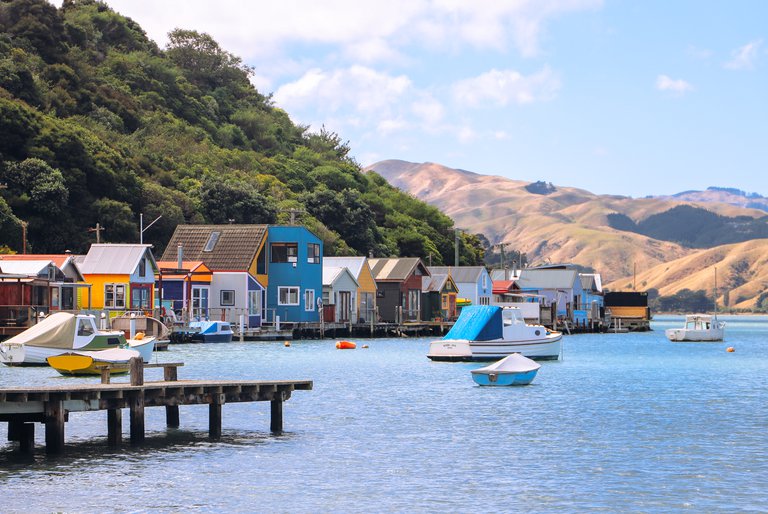
This sheltered walk takes you along the shores of Pāuatahanui Inlet and the colourful, iconic Camborne boatsheds. Be sure to pack a picnic for the stop at the Grays Road end of the track. At the western end of the inlet you’ll find the beautiful Camborne Walkway. This sheltered walk hugs the shores of the inlet and takes you past the colourful, iconic Camborne boatsheds. On the right day the water is like glass, making this a lovely spot for calm reflection
Te Ara Piko Pathway map
Pauatahanui Wildlife Management Reserve
Distance: 5.1 km, 1 hour, 15 minutes one-way. Allow an extra hour for the Pāuatahanui Wildlife Management Reserve
Gradient: easy
Surface type: mixed
Take a stroll along "The Meandering Path" through native salt marshes and wetland habitat. This is a great walk to take the whole family on and is buggy and wheelchair-friendly.
It’s home to many native plants and birds, and you might spot mud crabs if you keep your eyes peeled when crossing bridges. Pop into one of the bird-viewing hides and you could see white-faced herons, oystercatchers, royal spoonbills, banded dotterels, white-fronted terns, pied stilts or many other wonderful birds. Watch this video of the pathway.
A lovely spot on Pāuatahanui Inlet that’s the perfect stop-off for a picnic if you’re walking the Te Ara Piko pathway. This picturesque point boasts a wide range of bird life for the ornithology enthusiasts among you and is great for kayaking and windsurfing.
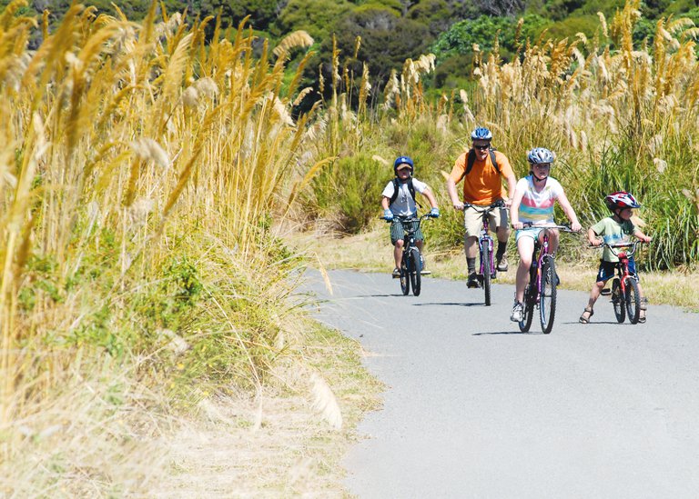
Distance: There are many tracks to choose from. The longest track is 4.2 km, 1 hr 7 mins one-way.
Gradient: easy
Surface type: mixed, mainly gravel
Running alongside the Kenepuru Stream, this pathway is on its way to become the ‘green heart of Porirua’ thanks to an environment development programme. The wide gravel track passes through mature exotic trees and regenerating natives and is a great ‘buggy walk’ with youngsters.
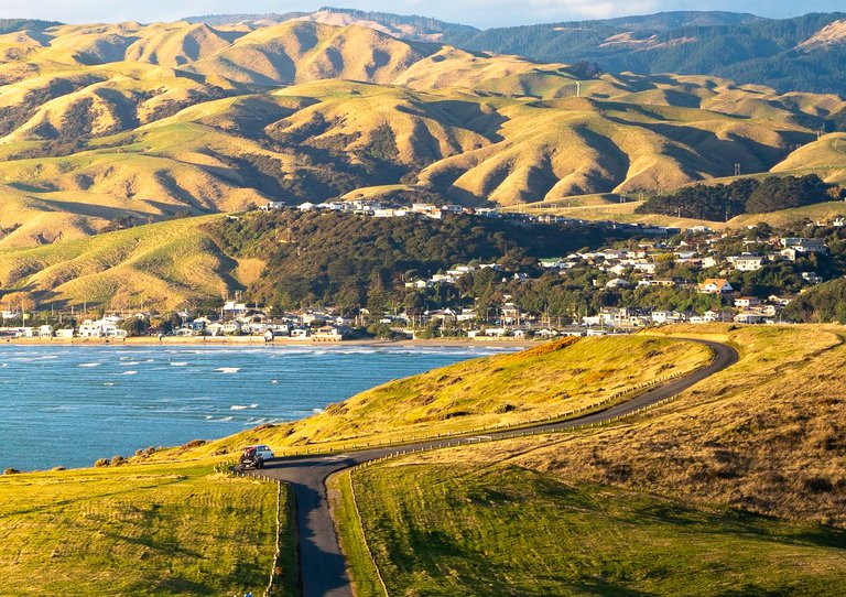
Distance: 6.5 km, 1 hr 50 min one-way
Gradient: moderate
Surface type: unsealed
This walkway takes you through farmland along the coastline between Onehunga Bay and Te Onepoto Bay in Porirua City’s west and offers dramatic views of Mana Island and the South Island. Decent footwear is recommended to navigate the various farm stiles.
Distance: 2.8 km, 1 hour return
Gradient: challenging
Surface type: mixed
If you’re after a mesmerising coastal view, this is the walk for you. Start at the south end of Titahi Bay Beach and then on to Southern Clifftop Walk and enjoy views out to Mana Island.
Dogs are permitted off-lead within Stuart Park.
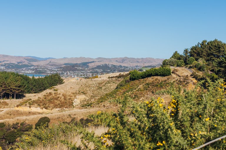
Various tracks on the hills of Rangituhi to the west of the city centre.
There are a range of tracks in Porirua Scenic Reserve, Te Rāhui o Rangituhi, Rangituhi/Colonial Knob Scenic Reserve, and Spicer Botanical Park. If you’re keen for a challenge head up one of the three tracks to the Colonial Knob summit for enviable views over Porirua City and out to the Cook Strait.
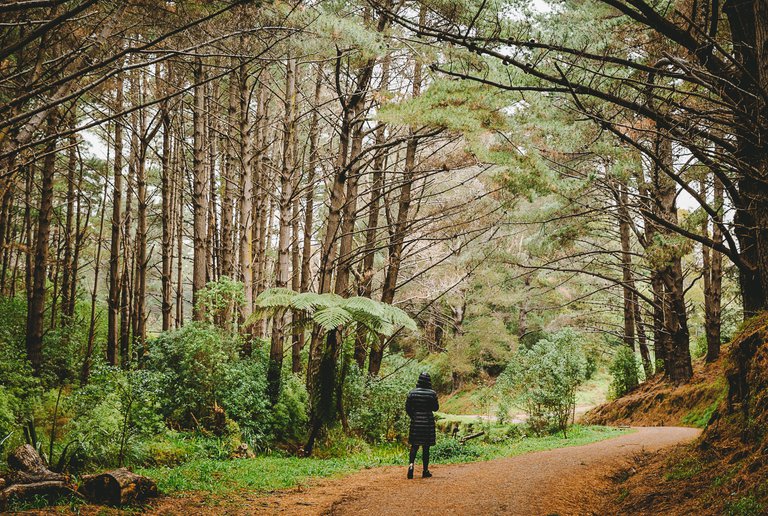
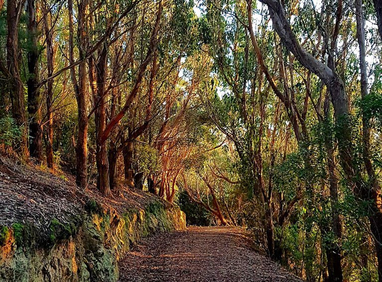
Te Ara Utiwai is a shared walking/mountainbike track, 6.1km from Camp Elsdon to the Rangituhi Lookout. The first 1.4km of the track is easy two way cycling and the upper 4.7km intermediate section is uphill cycling only, with walkers using the track in both directions. With a gentle gradient through stunning native forest, this track is a beauty!
An attractive path right in the heart of the city centre giving great views over the harbour and along the Porirua Stream corridor where you can see various wildlife. The north end currently starts at Wi Neera Drive by Whitireia Polytechnic and heads south.
This sealed off road path, connects the city centre to a network of paths that extend to the north, south and east. To the South Te Ara Tawa pathway follows the Porirua stream to Tawa. The Aotea Pathway over the northern ramp bridge links to the north and the Porirua station subway connects it to the East.
It’s easy to see why the Spinnaker Lookout walkway is a favourite with the locals in Whitby! Within minutes of entering the walkway, you will find yourself in the middle of a forest, under a canopy of massive trees that drain out all the noise from the area, with only birds chirping up. It’s truly magical.
You don’t have to be an Olympic athlete to experience the views too, as it’s an easy to moderate walk to the lookout with several access points (the easiest one to find is on Spinnaker Drive itself) and clear signposts. The best of all is the huge pay-off for moderate effort – the grand breathtaking views at the top. You can see from Pāuatahanui inlet to Porirua Harbour! Highly recommended.