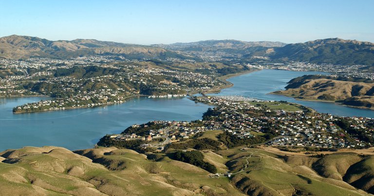
Both the Plimmerton west (Hongoeka Marae and Karehana Park) area and the Taupō Stream catchment around James Street/State Highway 59 have been impacted by flooding in recent years.
Porirua City Council and Wellington Water continue to work on improvements to the stormwater systems in these areas to reduce the risk of homes and businesses being flooded.
We know that we need to plan for more intense weather events. More flooding and landslides could have huge financial impacts on the Council and our community. But building and upgrading infrastructure for these events is an expensive business, and we can’t do as much as we would like.
There is always a trade-off between risk and cost. We’ll do what we can – when we replace stormwater pipes we will make sure they are bigger than existing pipes – but we’re going to have to accept an elevated level of risk of flooding and slips.
We are committed to maintaining the current stormwater system as best we can. The current system is designed to manage a 1 in 10-year flood event, and becomes overwhelmed during short, intense periods of rain. When it’s high tide, the system struggles even more, as water at the bottom of the catchment is unable to get out to sea.
Wellington Water, Porirua City's Parks team, New Zealand Transport Agency Waka Kotahi and Downers all have maintenance responsibilities in the Plimmerton area.
To provide information about what stormwater assets we maintain and how often, we've developed a GIS map that details the maintenance programme for the various assets in the Karehana Park and James Street catchments. The map is a work in progress, so we'd love your feedback. Take a look
The maintenance of Porirua’s stormwater network is delivered through a collaboration between the Council and Wellington Water, with agreed areas of responsibility.
Please note, some stormwater assets in our city are also managed by New Zealand Transport Agency Waka Kotahi, Greater Wellington Regional Council and private property owners.
This GIS map only deals with assets managed by the Council and Wellington Water.
The purpose of this GIS map is to give you basic maintenance information regarding a specific asset or area of maintenance.
When you view the map you'll find the points of interest are indicated by the green icons (as illustrated in the screenshot below), which will take you to a report detailing the:
You can report a fault at any time through our Antenno App or by ringing our enquiries team on 04 237 5089 or by emailing [email protected]. It would be helpful if you could provide the asset information provided on this website.
View the new GIS map here to find out details of our stormwater network maintenance programme for the Karehana Park and James Street catchments in Plimmerton.
2024–34 Long-term Plan consultation and decision
We consulted on our Draft Long-term Plan 2024–34, in March and April 2024, and proposed not going ahead with some of our work. This included flood reduction projects, including Karehana Bay and Taupō Wetlands upgrades.
It was discovered that the $16.9 million budgeted for Karehana Bay upgrades in the previous Long-term Plan (2021–51) would only benefit about six homes, and not deliver the outcome needed for that community.
The final Long-term Plan 2024–34 was formally adopted by Council on 27 June 2024, which included the decision not to include the Karehana Bay and Taupō Wetlands upgrades.
By not proceeding with the Karehana Bay upgrade we were able to reduce our forecast spend by $26.8 million. The Taupō Wetlands upgrade was to start in outer years but will also not proceed. This will save $27 million.
On this page you will find more information about:
Download the project plan Flood prone area response
Wellington Water (WWL) investigated stormwater management options in the Taupō Stream catchment. Download the Plimmerton Project Overview.
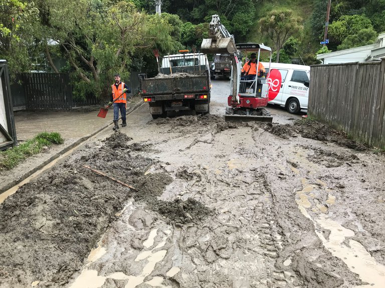
Following the flood in November 2020 the Plimmerton Flood Action Group established themselves as a touch point for the Community. Council has worked closely with this group.
[email protected] and on Facebook, search “Plimmerton Flood Action”
A working group representing the community worked with the project team during the initial Karehana Catchment Study investigation and options assessment, and provided direct feedback to Council and Wellington Water.
